Photos II : Around the Center
 Aerial: Naples (+ click)
(maps.google)
Aerial: Naples (+ click)
(maps.google)
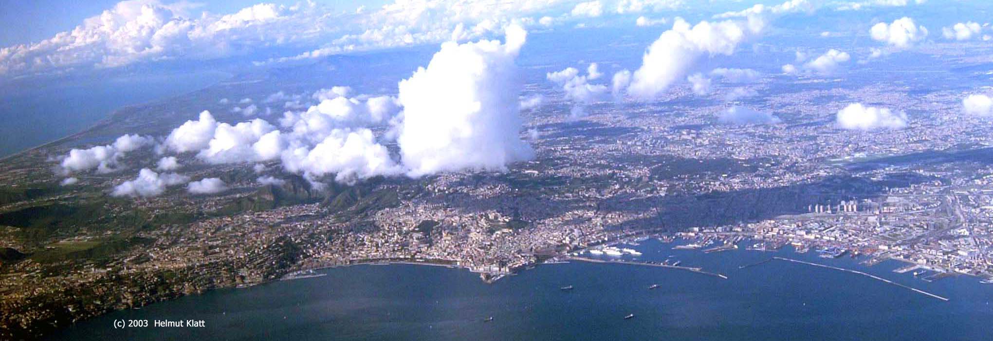 Aerial (+ click)
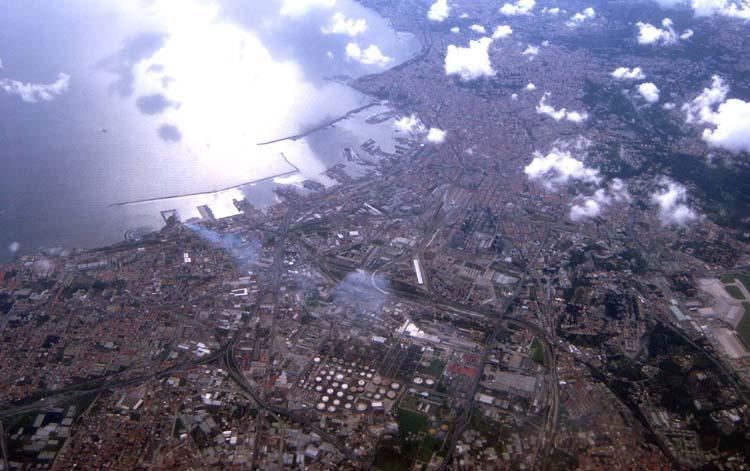
To the left: Posillipo and Mergellina
Centre: Vomero and Stazione Marittima
To the right: Industrial port. The airport is situated further inland between both harbours:
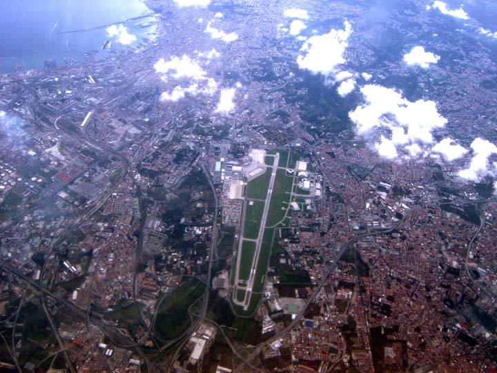 Airport Capodichino (+ click)
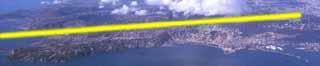 The landing route, which lead to the following photos, went parallel to the coast line just behind the Posillipo "from left to right" from the isle of Nisida to the airport Capodichino.
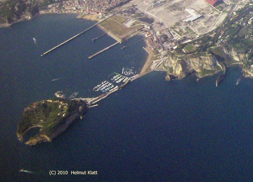 Isle of Nisida (+ click to see the crater)
Nisida with crater (maps.google)
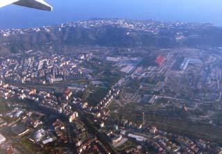 Posillipo hills, down to the right: Bagnoli
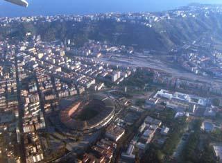 Stadion San Paolo, to the left Fuorigrotta
 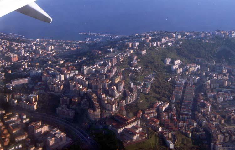 Posillipo, to the right Fuorigrotta (+ click)
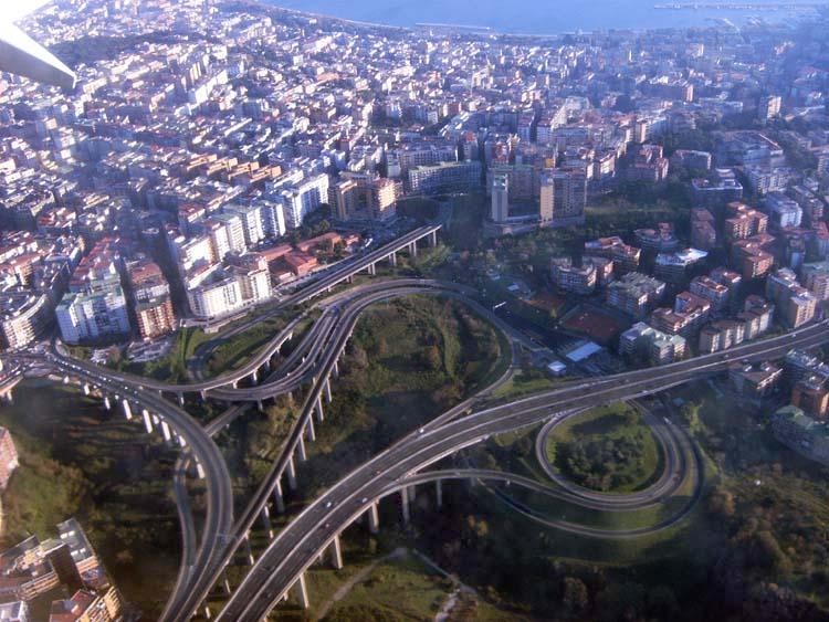 "Tangenziale" leading to Pozzuoli - with the impressing exit to Vomero (+ click)
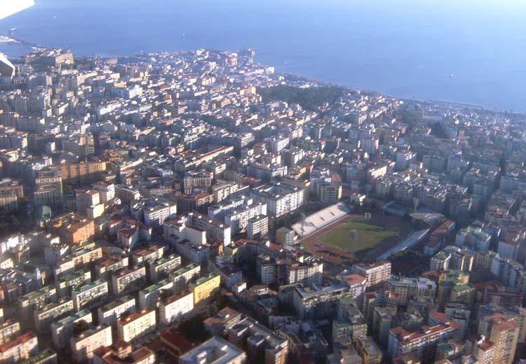 Vomero with Stadio Collana. To the left Castel Sant'Elmo. Center (coast): Castel dell Ovo (+ click)
 Now from the Sea: Castel dell Ovo and Pizzofalcone (+ click)
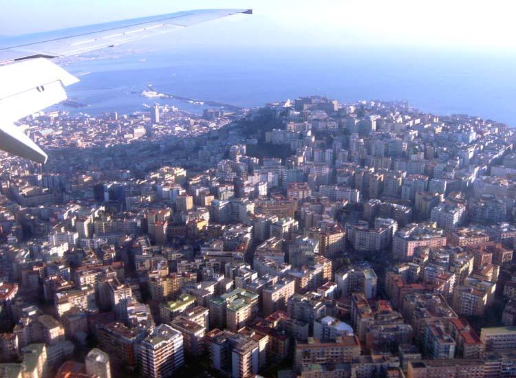 Vomero (+ click)
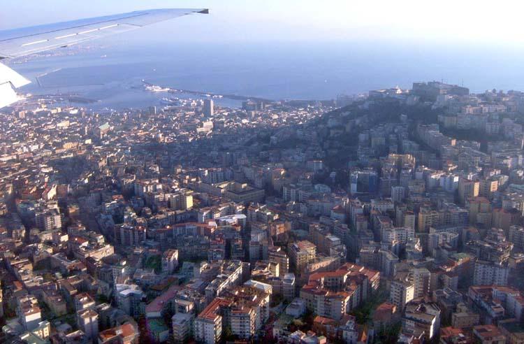 Vomero with Certosa San Martino and Castel Sant'Elmo. To the left (coast): Maschio Angioino and Stazione Marittima (+ click)
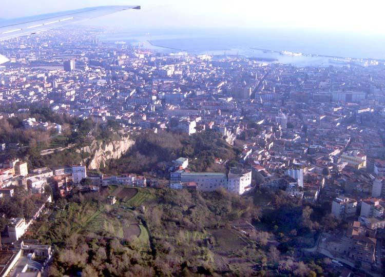 Capodimonte (+ click)
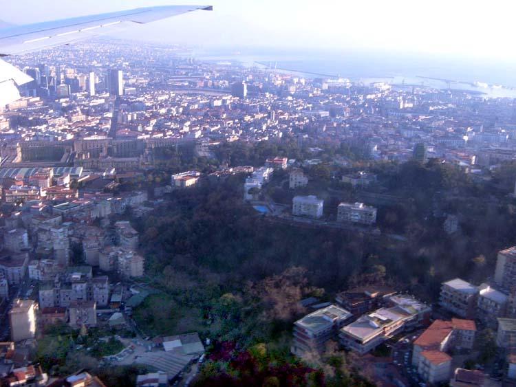 In front to the right you see Capodimonte. To the left lies Palazzo Fuga, which is to the right adjacent to the botanical gardens. Corso Garibaldi leads straight from the palazzo to the main station. (+ click)
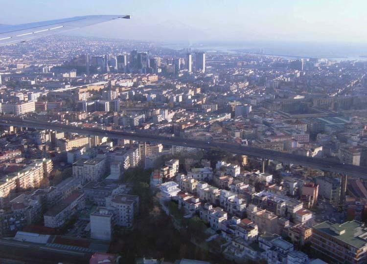 To the left Centro Direzionale. The Tangenziale overcrosses the city (+ click)
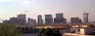 Skyline (Centro Direzionale)
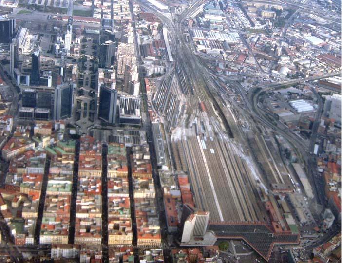 Centro Direzionale and main station (+ click)
Photos II : Around the Center